HUNT Regional - Midwest by onXmaps - Color-coded Lands 24k Topo Maps for Garmin GPS! Covers Iowa, Minnesota, North Dakota, South Dakota, Wisconsin (microSD/SD Card)
Product Description
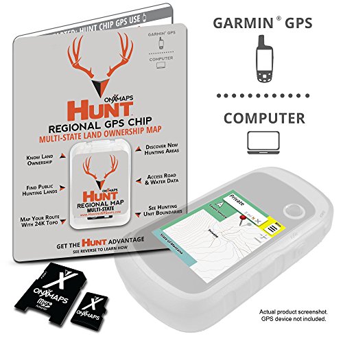
We've combined BLM, Forest Service, USGS Topo Quad, and PLAT book maps to give you HUNT Midwest for Garmin GPS, the most informative GPS map of the Midwest region ever created! This microSD Chip gives you a color-coded map of Iowa, Minnesota, North Dakota, South Dakota & Wisconsin showing public land boundaries with hunting areas, topo information, roads, trails, and much more. Map data is collected from multiple sources and organized in a way that makes our HUNT Midwest Map intuitive and helps you reduce map clutter and get back to hunting! Endorsed by numerous State and Federal agencies, including many Game & Fish Departments, HUNT Midwest for Garmin GPS by onXmaps is the most reliable source for Midwest public lands maps on the market!Feature
Color-coded Public Lands