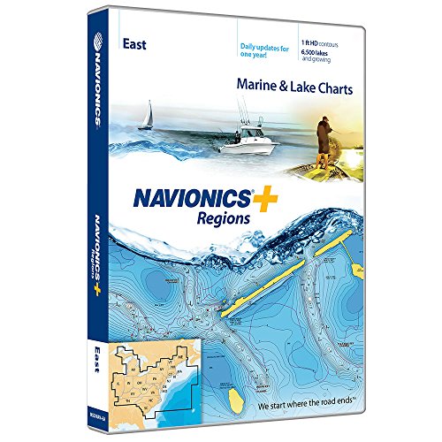
Navionics Plus Regions East Marine and Lake Charts on SD/MSD[Product Information]- Max detailed charts for cruising, fishing and sailing.
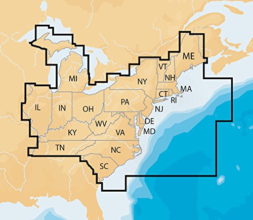
- Get full marine coverage and more than 6,500 lakes in CT, DE, IL, IN, KY, MA, MD, ME, MI, NC, NH, NJ, NY, OH, PA, RI, SC, TN, VA, VT and WV, plus US waters of the region’s Great Lakes.
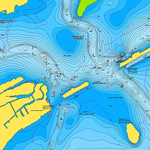
- Includes Nautical Chart, a robust chart resource trusted by boaters worldwide.
- Includes SonarChartTM 1 foot HD bathymetry map that reflects ever changing conditions, and Community Edits, valuable local information added by millions of Navionics Boating app users.
- Get the most current charts every day with daily updates for one year.