Studio : Waterproof Charts Publisher : Waterproof Charts Binding : Misc. Product Description
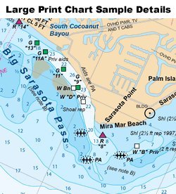
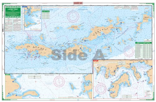
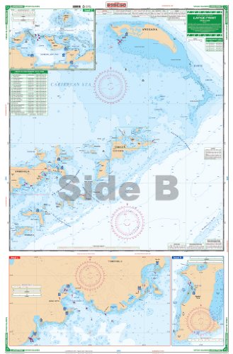
Perfect for bareboat chartering, this excellent chart has unique features which make it more current and different than other coverage of this popular cruising destination. All depth soundings are in feet, which makes it easier to use. The GPS coordinate system is based upon WGS84 / World Mercator Datum which is compatible with the default setting on most GPS receivers, which means you can use it with your GPS directly, without calculating complex offsets. The panels and insets have been chosen to show the most popular ports and cruising destinations. A current list of marinas with their phone number and GPS positions is on both sides with the marina positions plotted. GPS Waypoints for popular routes and approaches are listed and indexed and customs office locations are shown for both US and British ports of entry. Side A has coverage of St. Thomas east to Virgin Gorda with detail for St. Thomas harbor, Jersey and Benner Bay, Red Hook and Cruz Bay. Side B covers East Tortola from Road Harbour to Virgin Gorda and continues to Anegada including expanded detailed insets for Nanny Cay and Road Town, South Virgin Gorda, The Baths, Virgin Gorda Yacht Harbor, and Gorda Sound including The Bitter End, Biras Creek and Leverick Bay. Complete approach channel information for Anegada is shown. Overall this is the best coverage possible on a single two-sided chart. Note 132E does not include St. Croix or St. Croix harbors. For coverage of St. Croix see Waterproof Chart #32. Information from 5 government charts 25647, 25649, 25641, 25605, 25611 and private sources. WGS84 / World Mercator Datum. 25" x 38"
0
|