Studio : Waterproof Charts Publisher : Waterproof Charts Binding : Misc. Product Description
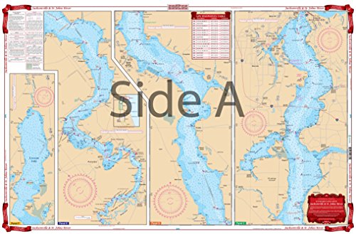
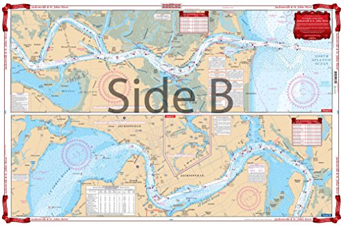
Starting at the Atlantic Ocean, this chart covers up the St. Johns River to city of Jacksonville, continuing upstream through Green Cove Springs, Palatka, covering Murphy and Dunn Creeks and includes all of Crescent Lake. Also covered are the Arlington River and the Ortega River areas in Jacksonville and Doctors Lake. Information from 2 NOAA Charts: #11491 #11492. Chart is 25" X 38". WGS84 - World Mercator Datum.
0
|