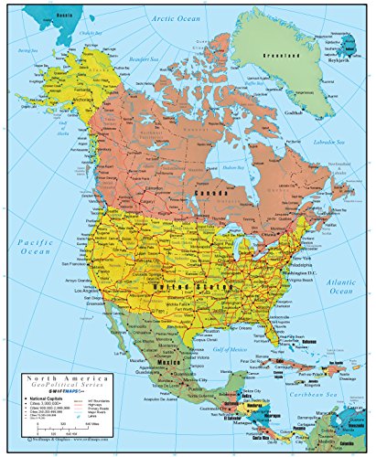
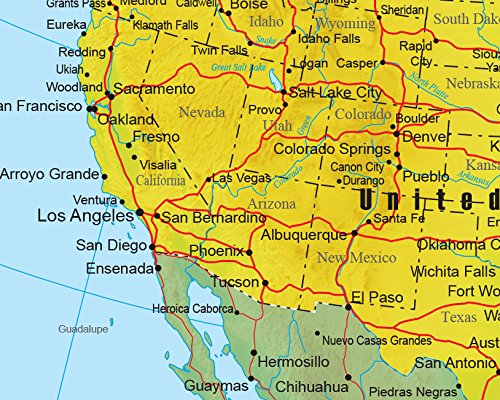
North America Wall Map GeoPolitical Edition by Swiftmaps (18x22 Paper)
Product Description
The Swiftmaps.com GeoPolitical Continent Series Wall Maps have been a top seller for many years with their 2in1 mapping format. Even though the GeoPolitical series may look like a standard continental map from afar a much closer look will unfold an attractive visual layer of 3D shaded physical relief to highlight the mountains and terrain of the continent. Originally created for the educational and school markets, the Swiftmaps Continent Series has been extremely popular in recent years as wall decor in businesses and household with its unique and attractive features. This rolled paper map edition is printed on 100lb poster paper for a heavy-duty look and feel. Only the best from Swiftmaps line of quality continent wall maps!Feature
GeoPolitical 2in1: Includes important North America Political Map data along with an extra 3D-shaded layer of Physical Map Relief