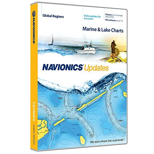
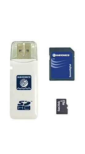
Navionics Updates Global Regions Marine and Lake Charts on SD/MSD
[Product Information]
- All the contents of Navionics Plus at half the price. Just use an old card to activate it.
- Max detailed charts for cruising, fishing and sailing.
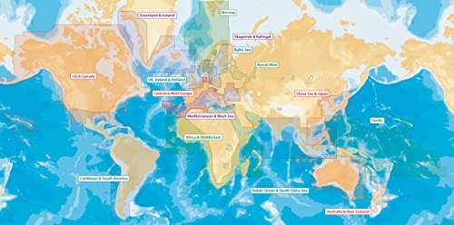
- Choose your coverage area and get marine areas and lakes charts all on one card.
- Get the most current charts every day with daily updates for one year.
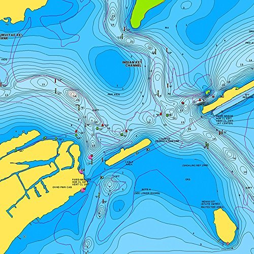
- Includes SonarChartTM 1 foot/0.5 m HD bathymetry map that reflects ever changing conditions, and Community Edits, valuable local information added by millions of Navionics Boating app users.